2025-09-23 28HSE 编辑部
The Hong Kong Observatory issued a Typhoon Signal No. 3 last night (September 22) as Super Typhoon Ragasa approaches, with weather conditions expected to deteriorate rapidly today (September 23). The Observatory has warned that Ragasa’s storm surge levels may rival those of Typhoon Mangkhut in 2018.
The Civil Engineering and Development Department previously identified 26 high-risk coastal, low-lying, or wind-exposed residential areas. These include Heng Fa Chuen and parts of Yuen Long.
In addition to these 26 areas, past reports have highlighted seven key flood-prone and wind-exposed hotspots in Hong Kong. Below is a detailed review of these areas to help residents take precautionary measures.
7 High-Risk Residential Areas
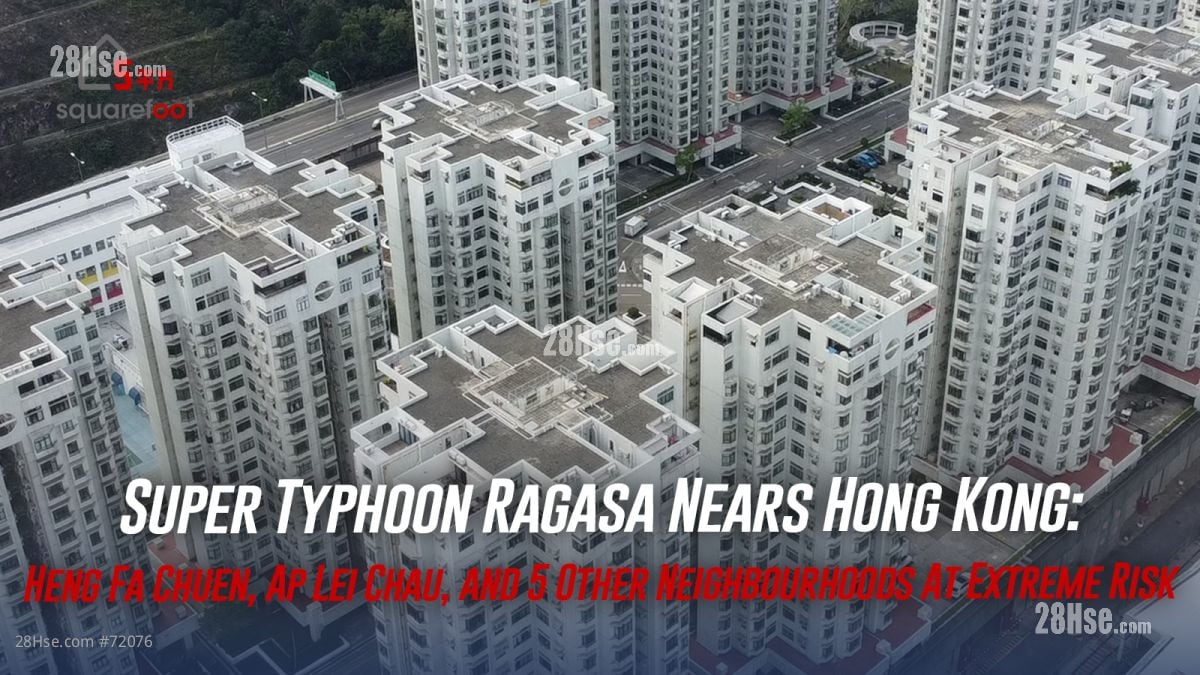
Heng Fa Chuen
Located in eastern Hong Kong Island, Heng Fa Chuen frequently makes headlines during severe weather. Past typhoons such as Hato (2017) and Mangkhut (2018) caused severe flooding, with seawater entering elevator shafts, utility rooms, and parking garages, leaving residents without water or electricity.
Recent preparations include "X"-shaped tape on windows, 80cm aluminium flood barriers at building entrances, sandbags in parking garages, and water pumps.
Ap Lei Chau
During Typhoons Hato and Mangkhut, South Horizons saw seawalls damaged and seawater flooding parking garages and ground-floor units. Waves reportedly reached as high as the 10th floor during Mangkhut, smashing windows and damaging nearby facilities.
Tseung Kwan O South
This area is prone to flooding during storms and heavy rain. Notable incidents include over 20 vehicles submerged in a car park during a recent black rainstorm. Developments like Lohas Park also face risks of broken windows and flooding during typhoons.
Siu Sai Wan
In past typhoons, such as Vicente (2012) and Mangkhut (2018), Island Resort in Siu Sai Wan saw extensive damage, with broken windows and destroyed public facilities in the nearby waterfront park.
Pearl Island
Surrounded by water and connected to Tuen Mun by a single bridge, Pearl Island often experiences massive waves and flooding during typhoons. During Hato, dramatic videos showed cars attempting to cross a flooded bridge, drawing comparisons to Moses parting the Red Sea.
Lei Yue Mun (Sam Ka Tsuen)
Known as a typhoon hotspot, this area frequently experiences flooding, with seawater inundating low-lying areas and damaging homes and businesses during strong storms.
Ma Wan
While Ma Wan is not officially listed as a high-risk area, its location near Tsing Ma Bridge leaves it exposed to strong winds. Public transport disruptions during severe weather can also make it difficult for residents to leave the island.
有用